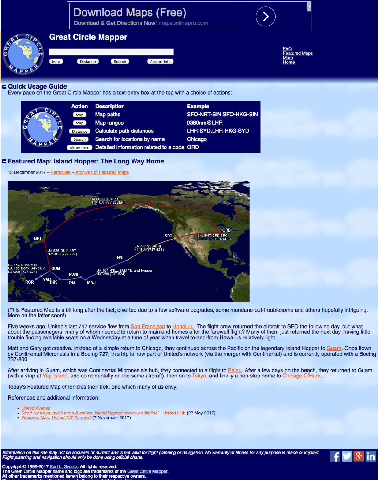
This website allows you to plot your flights on a global map and compute distances along the flight paths. And it’s free!

Great Circle Mapper is a free website that displays maps of the “great circle path” between locations. A great circle path is the shortest path on the surface of a sphere (in this case, Earth) between two points on that sphere.*
*For you math geeks, technically the term geodesic path should be used as Earth is not a true sphere, but great circle is the common term.
The website also computes distances along those paths (not only fun to know, but useful for frequent-flier-mile aficionados who want to know total miles flown for programs that are distance-based). Let’s give it a whirl.
Open the website http://www.gcmap.com.

The home page always shows a featured map of the day. In this case, it was how someone plotted their way home after taking last 747 service from San Francisco to Honolulu.
Move your cursor to the white rectangle in the upper left corner of the site.

Type in your itinerary, using three-letter airport codes. (If you don’t know a code, http://www.airportcodes.org/ will help you out.)
I entered one of my past trips: Denver – Frankfurt – Milan – Stockholm – Dublin – Toronto – Denver

Click on the “map” button.

Voila! You have your route mapped.
The site also tells you distances and headings between each point. If you wanted to search multiple routes at once (maybe for open jaw travel) you would separate the routes with a comma. You can change the color of the lines marking a route by inserting “,color:_______,” before a segment.

The website also allows you to do other calculations, such as the area within a specified range of a location, useful when you are booking award tickets within a region.
For example, entering “300mi@FRA” will show you the area within 300 miles of Frankfurt.

You can nest multiple distances by typing more distances into the search bar either by separating each with a comma, or building upon a previous search by making a second search query at a new distance. Adding “200mi@FRA” will delineate the area within 200 miles of Frankfurt on the map.

And you can add cities to these maps by typing the three-digit code for an airport or multiple airports separated by commas. For example, entering “CGN” and “STR” will show you where the Cologne and Stuttgart airports are located.

Twist’s Take: The next time you’re planning a trip—or returning from one—you may find it fun and useful to map it out.
